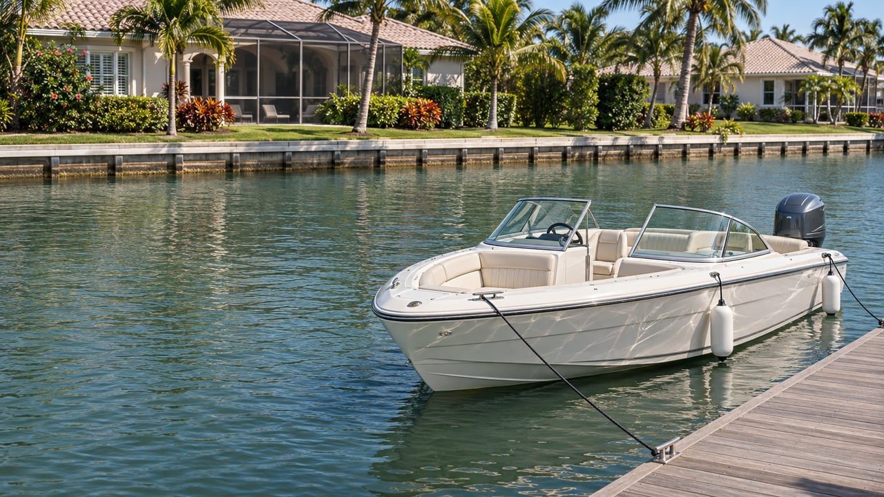
The lowest canal bridge on Marco Island clears 3 feet at mean high water. Three more sit between 3 and 3.5 feet, nine sit between about 9.3 and 11 feet, and the tallest clears a little over 14 feet. On Marco Island, the lowest bridge between a dock and open water decides what that dock can hold, and the City of Marco Island's own survey puts those bridges into three classes. A listing marked "Gulf access" tells you the water connects. The bridge class tells you whether your boat can make the trip.
That matters most to buyers who bring a boat with them, or plan to buy one the first season. A Grady-White with a T-top, a Pursuit with a hardtop and a cruiser with a radar arch each need a different route out to the Marco River. The house price will not tell you which homes give them one.
The city's 14 bridges, sorted by height
The City of Marco Island publishes approximate vertical and horizontal clearances for its canal bridges, measured at mean high water. The city's bridge clearance brochure gives a reading for the south and north side of each span. Grouped by height, they look like this. For Canadian buyers who think in meters, 3 feet is about 0.9 m, 10 feet about 3 m and 14.3 feet about 4.4 m.
| Clearance class | Bridge | Water crossed | Vertical clearance, south / north side |
|---|---|---|---|
| About 3 ft | North Collier Blvd. | Clam Bay | 3 / 3 ft |
| About 3 ft | Goldenrod Ave. | Goldenrod Waterway | 3.07 / 3.07 ft |
| About 3 ft | South Seas Ct | Tidal Canal | 3.44 / 3.44 ft |
| About 3 ft | Blackmore Drive | Clam Bay | 3.49 / 3.49 ft |
| About 10 ft | North Barfield | Factory Bay | 9.3 / 9.3 ft |
| About 10 ft | North Kendall Drive | Collier Bay | 9.93 / 9.84 ft |
| About 10 ft | South Kendall Drive | Clam Bay | 10.12 / 10.11 ft |
| About 10 ft | Sand Hill Street | Tidal Canal | 10.25 / 10.25 ft |
| About 10 ft | Barfield Drive | Marco River Inlet | 10.34 / 10.34 ft |
| About 10 ft | Hernando Drive | Clam Bay | 10.41 / 11.01 ft |
| About 10 ft | West Winterberry | Shenandoah Waterway | 10.47 / 10.45 ft |
| About 10 ft | Caxambas Court | Roberts Bay | 10.5 / 10.35 ft |
| About 10 ft | East Winterberry | Smokehouse Bay | 10.64 / 10.64 ft |
| About 14 ft | Collier Blvd., southbound and northbound spans | Smokehouse Bay | 14.30 to 14.44 ft |
The city labels these figures informational and asks boaters to use them as a guide only. They make a good first screen. They do not guarantee a boat will pass. The one bridge most visitors know, the Judge S.S. Jolley Bridge on SR 951, has 55 feet of vertical clearance, according to Waterway Guide. That is the bridge you drive in on. The canal bridges are the ones your boat has to clear.
The 3-foot crossings
Four bridges sit at roughly 3 to 3.5 feet. No boat in the current manufacturer specs we pulled for common Southwest Florida models gets under them. Sea Ray lists its 2025 SDX 250 at 5 feet 5 inches without its tower. Boston Whaler lists the 2027 250 Dauntless at 6 feet 1 inch with no top at all. If one of the Clam Bay crossings at North Collier or Blackmore, the Goldenrod Avenue bridge or the South Seas Court bridge lies between a dock and open water, assume only paddle craft can make the trip until you have checked the route yourself.
These homes suit an owner who wants the water view and a kayak launch, and who keeps a larger boat at a marina or club. The mistake is shopping one of these homes with a center console in mind.
The 10-foot class, where the boat's options decide
Nine of the fourteen bridges fall between 9.3 and 11 feet. Popular 25- to 35-foot center consoles come close to that line. Here are the manufacturers' own clearance figures:
- Grady-White Freedom 285: 8 feet 3 inches
- Pursuit S 268 with hardtop, measured from the waterline: 8 feet 6 inches
- Grady-White Canyon 306: 8 feet 7 inches
- Pursuit S 358 with hardtop, which Pursuit notes options can raise: 8 feet 9 inches
- Grady-White Canyon 336: 9 feet 4 inches
- Boston Whaler 280 Outrage with hardtop and radar: 9 feet 11.5 inches
- Sea Ray Sundancer 370 without radar: 10 feet 8 inches
The 9.3 feet at North Barfield over Factory Bay works out to about 9 feet 3.6 inches. The Canyon 336, listed at 9 feet 4 inches, is already slightly taller than that at mean high water. On paper, the 280 Outrage with radar is too tall for the north side of North Kendall Drive over Collier Bay, which reads 9.84 feet, and for the south side, at 9.93 feet. The same boat with its hardtop alone, at 8 feet 6.5 inches, has more than a foot to spare under both. The Sundancer 370 without radar clears only the north side of Hernando Drive, at 11.01 feet, among the bridges in this class.
So inside one class, the right home for a Freedom 285 owner and the right home for a 280 Outrage owner with radar can be a few canals apart. Within this class, an option on the boat matters about as much as the bridge itself. Manufacturers do not all measure clearance the same way, and only some say they measure from the waterline. Read every one of these comparisons as a screen, then confirm with the boat's real measured height.
Smokehouse Bay's 14-foot spans
The southbound and northbound Collier Boulevard spans over Smokehouse Bay are the tall exception, at 14.30 to 14.44 feet of vertical clearance and about 58 to 60 feet of horizontal clearance. At that height, a Sundancer 370 with radar, listed at 12 feet 4 inches, has room. Boston Whaler's 2027 420 Outrage is listed at 12 feet 5 inches with hardtop, 14 feet 2 inches with hardtop, radar and satellite, and 18 feet 6 inches with an upper station. The middle setup clears the lowest Smokehouse Bay reading by about an inch and a half at mean high water. The upper-station version does not clear at all.
For a boat that size, the bridge class rules out far more of the island than the price filter does. Buyers with towers, tall hardtops or sailboats are generally best served by direct-access water, meaning a route with no fixed bridge. On Marco, direct-access homes cluster around Olde Marco on the north end, along the Marco River side to the east, and through the Estates and Caxambas to the south. The central canals behind the beach mostly run through bridges. Over the past two years, direct-access homes have closed at a clearly higher median than bridged ones. Direct-access homes also tend to be larger, which explains part of that gap.
Season opens on the high side of the tide
The city's clearances are measured at mean high water, and the tide does not stop there. NOAA's Big Marco River station, 8724991, puts mean high water at 2.56 feet above its low-water reference. NOAA's October 2026 predictions showed highs of 3.38 feet on Oct. 28 and 29. Its November 2026 predictions show a 3.42-foot high on Nov. 26, a week from today. That predicted high is about 10 inches above mean high water.
Take 10 inches off South Kendall Drive's 10.12 feet and the result is about 9.26 feet, less than the Canyon 336's listed 9 feet 4 inches. The Canyon 306, at 8 feet 7 inches, still has room. A boat that clears comfortably on an average high tide can lose its margin on Thanksgiving week, at the start of season. A boat that fits on the day you see a home may not fit on a higher tide later.
A smaller market makes the bridge question sharper
The Marco Island Area Association of Realtors' October 2026 report counted 380 active listings island-wide, down 23% from October 2025. It recorded 48 sales, down 13%, a $1.5 million single-family median, down 16%, and an average of 242 days on market, up 70%. That inventory figure counts condos and lots along with homes. Even so, every filter a boat owner adds now works on a smaller pool. Gulf access first, then a bridge class that fits the boat, then the tide margin: each step can remove listings that look like matches on a portal.
The top of the market is still active. Coastal Breeze News reported that 12 of the 28 single-family closings in August 2026 were at $2 million or more, and that a newly built Gulf-view home at 598 Spinnaker Drive, next to the Hideaway Beach area, closed Sept. 25 for $7.5 million. In the same piece, the seller's agent said Marco "has always attracted buyers who want to use their homes differently, whether that means boating, entertaining, collecting cars, or hosting extended family." For boat owners, that use starts with the lowest bridge on the route. Longer days on market give a buyer time to check that bridge before making an offer, not after.
Our Marco Island neighborhood page covers the island more broadly, and what it's like to own a second home on Marco Island covers the rest of island life.
Quick answers
Does "Gulf access" in a listing mean my boat will fit? No. It means the water connects. Whether your boat can get out depends on the lowest bridge on the route, the tide and your boat's measured height with every option installed, including radar and antennas.
Should I rely on the city's clearance numbers? Use them as a first screen. The City of Marco Island describes them as approximate figures at mean high water, for informational use only. Before you make an offer, confirm the route with a local captain or by running the boat through it.
Before you fall for a canal view, check which bridge is between that dock and the Marco River. Sara Anderson, PA can check every bridge on the route against your boat's real height, in English or French, so the home you buy fits the boat you plan to keep. Send us the make, model and options, and let's start the search together.